The Parish of Alvechurch consists of three electoral wards Alvechurch Ward, Bordesley & Rowney Green Ward and Hopwood Ward. Alvechurch ward comprises the village of Alvechurch and Withybed Green; the Hopwood ward includes the north half of Weatheroak, whilst the southern half is contained within the Rowney Green ward that also encompasses the Holloway and Grange Lane, and is now combined with the Bordesley ward which borders Alvechurch Village ward along Station road.
Sited within the Worcestershire district of Bromsgrove, Alvechurch is one of Bromsgrove’s 19 parishes and shares boundaries with Beoley, Wythall, Barnt Green, Cofton Hackett and Tutnall & Cobley Parishes. The parish also borders both the city of Birmingham and Redditch new-town and is therefore a vital part of the West Midlands Green Belt that serves as a buffer between conurbations.
The only part of the parish that is not covered by the Green Belt classification is the built-up area of Alvechurch village itself. The resultant restrictions on new building development in the Green Belt mean demand for new housing in the parish is high.
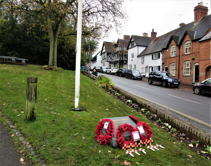
Alvechurch Village Centre is a designated Conservation Area, host to a number of listed buildings originating from the 15th century. The parish church of St Laurence is listed grade II.
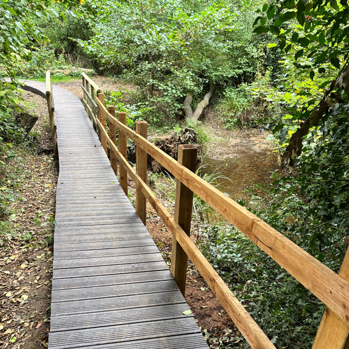
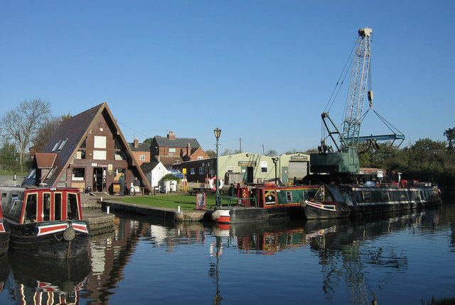
The parish is also host to good transport links of all types including (by road) the north/south A441 and the east/west M42, (by rail) the Redditch/Lichfield cross-city service, and (by canal) the Worcester – Birmingham Canal. The river Arrow flows from its source in the nearby Lickey Hills through the parish and out towards Alcester. The village of Alvechurch lies in a valley surrounded by Hob, Scarfield, Coopers, Hopwood, Wast, Weatheroak and Newbourne Hills.
Parish Council
Parish Councils are the most local tier of Local Government, the grass-roots level. In this area Local Government consists of parish councils, district councils and county councils – all of which have been set up by Acts of Parliament. In Alvechurch the parish council has been in existence since 1894, since when there have been a few changes to its size and number of councillors to today’s parish which covers the wards of Alvechurch.
The Parish Council is funded by the council tax payer. Councillors work out how much money they will need for the forthcoming year and set a special rate called the precept which is collected by the District Council with the council tax.
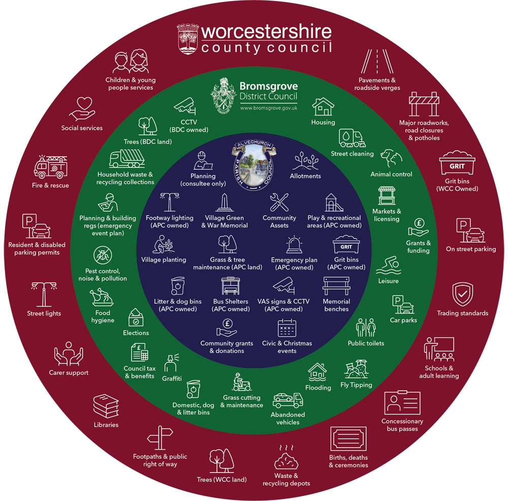
The Wheel of Services’ shows which authority is responsible for service provision’.
Meet Your Councillors
Meet the Parish Councillors who represent your community.
Alvechurch’s Response to BDC's DDS re. Future Development
24th October 2025
Alvechurch Parish Council (APC) has published its formal response to Bromsgrove District Council’s Draft Development Strategy on its website. The response reflects residents’ views gathered through a community questionnaire and focuses on ensuring sustainable and appropriate development in the parish.
APC highlights that Bromsgrove’s new Local Plan will shape development until 2043. APC’s response is seeking to influence new housing for the current young residents in our community and those approaching retirement. APC stresses the need for more affordable and suitable housing to support both younger residents seeking to buy homes and older residents wishing to downsize — what APC calls the community’s “circle of life.”
A key issue is Bromsgrove’s proposal for 500 new homes in Alvechurch. APC strongly challenges this figure, suggesting instead a more sustainable target of 250 homes, consistent with the Neighbourhood Plan. The council’s response also outlines infrastructure improvements needed to support future growth.
Finally, APC reaffirms its duty to represent the community’s best interests now and for future generations, taking a proactive and balanced approach to planning and development.
Cllr M Worrall (Chairman)
21st October 2025
Please find a link to Covering Letter and Alvechurch Parish Council’s Response, as submitted on 20th Oct 2025, to BDC Strategic Planners.
Alvechurch Parish Council wish to acknowledge and thank all those residents who have submitted their comments for due consideration by BDC, the Local Planning Authority.
Accessibility Statement'
Alvechurch parish Council is committed to providing a website that is accessible to the widest possible audience, regardless of technology or ability.